KDHE Public Web Map Applications
KDHE hosts many Public Web Map Applications as a public service. There is not a link for a home page for all the GIS avaiable through the kdheks.gov page.
This simple page is created for help finding all the potential resources that are available through KDHE - IT - GIS Section.
Check out free data downloads of KDHE GIS databases, coordinated through DASC - State of Kansas GIS Data Access & Support Center. https://www.kansasgis.org/
|
|||||||||||||||
|
|||||||||||||||
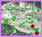
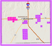
 Surface Mining Remediation |
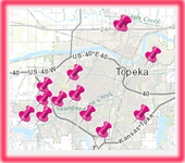
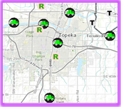
 Closed City Dumps |
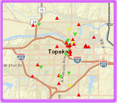
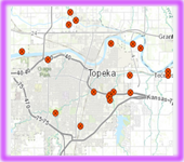
 Solid Waste Disposal |
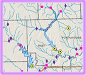
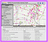
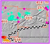
 Chloride Contamination |
coming soon |
Old City Dump Cleanup |
Link in Right Column - Under "Maps & Database" |
KCC Form Requirement |